 Add Row
  Add
Add 


Innovative Drone Techniques Reshape Disaster Response Efforts
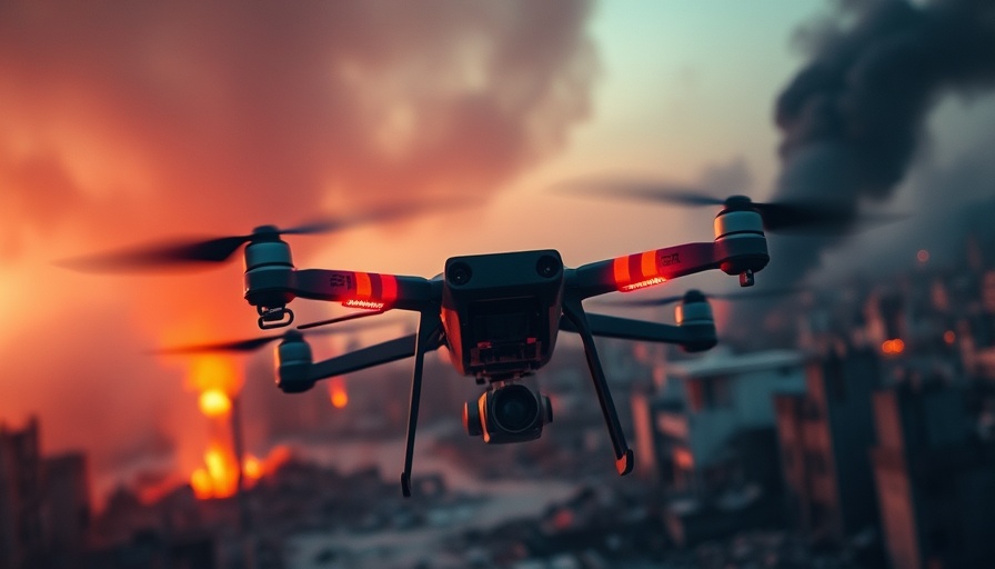
In the aftermath of a devastating flood that swept through parts of Central Texas, the use of drone technology has entered a transformative phase. This tragic event, which claimed the lives of approximately 135 individuals, highlighted the urgent need for advanced search and rescue methodologies. The innovative application of thermal imaging drones, spearheaded by local law enforcement and drone pilots, has emerged as a pivotal tool in locating missing persons amid disaster scenarios.
Historical Context: A Dire Need for Improved Search Methods
The search for victims, such as Marble Falls Fire Chief Michael Phillips, whose remains continue to elude recovery, demonstrates a distressing reality faced by search and rescue teams. Traditional methods often fall short when the environment is unpredictably altered, as was the case with the debris-strewn landscapes following the flooding. Emergency responders, under the leadership of Amarillo Police Lt. Shane Chadwick, have recognized the potential of drones equipped with thermal imaging technology to enhance efficiency in such dire circumstances.
Synergy of Multifunctional Technologies
Chadwick's innovative approach was rooted in previous successes utilizing different drone technologies. The Amarillo UAV team had previously assisted in cold case investigations using multi-spectral cameras. This reservoir of experience paved the way for adapting their tools for the unique challenges posed by the Texas flood. The utilization of thermal imaging, especially during cooler nighttime hours, was a strategic decision, allowing the team to capitalize on thermal differentials that can signal human presence or recently disturbed ground.
Technical Insights: How Thermal Imaging Works in Disaster Scenarios
Thermal imaging technology pairs well with search and rescue operations by detecting minute temperature variances on the ground, which can reveal the subtle signs of decomposition. As evidenced by drone expert Gene Robinson's insights, the science behind this technology is intricate, relying on the understanding of body temperature fluctuations post-environmental exposure. The team successfully mapped a nine-mile stretch of the creek using DJI Matrice 4T drones, collecting over 27,000 thermal images during a 37-hour mission.
Future Implications: The Expanding Role of Drones in Emergency Responses
This case exemplifies a thrilling intersection of technology and humanitarian assistance, pointing to the broader trends that anticipate enhanced drone functionalities in future disaster responses. Cutting-edge research continues to surface, suggesting further innovations that could integrate AI analytics to streamline the data processing from aerial imaging. These advances could potentially expedite searches and provide vital situational awareness to responders.
Conclusion: A Call for Enhanced Adoption of Drone Technology
The innovations stemming from these challenges not only hold the promise of technological strides but also speak volumes about community resilience and the ingenuity of those on the front lines. As we face increasingly frequent natural disasters, it is imperative that public safety agencies adopt these advanced drone techniques comprehensively. Embracing these tools could revolutionize our approach to search and rescue operations, ensuring that no victim is left unaccounted for. Stay informed about this evolving technology and advocate for enhanced resources to support these crucial initiatives.


Write A Comment